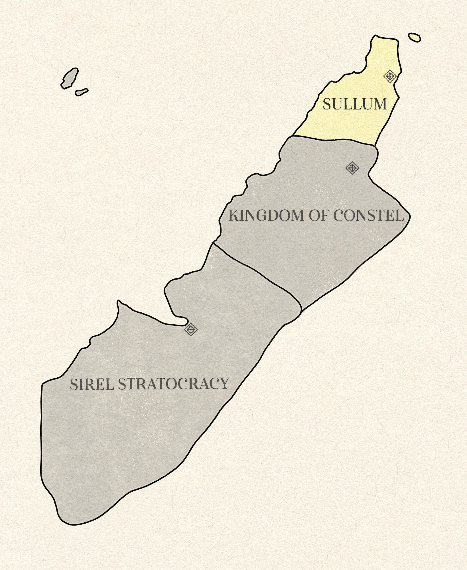
File:Sullum Sirel Coast Political Map.jpg
Size of this preview: 491 × 600 pixels. Other resolution: 1,638 × 2,000 pixels.
Original file (1,638 × 2,000 pixels, file size: 810 KB, MIME type: image/jpeg)
Sullum Sirel Coast Political Map
File history
Click on a date/time to view the file as it appeared at that time.
| Date/Time | Thumbnail | Dimensions | User | Comment | |
|---|---|---|---|---|---|
| current | 02:08, 3 May 2026 | | 1,638 × 2,000 (810 KB) | Oros (talk | contribs) |
You cannot overwrite this file.
File usage
The following page uses this file: